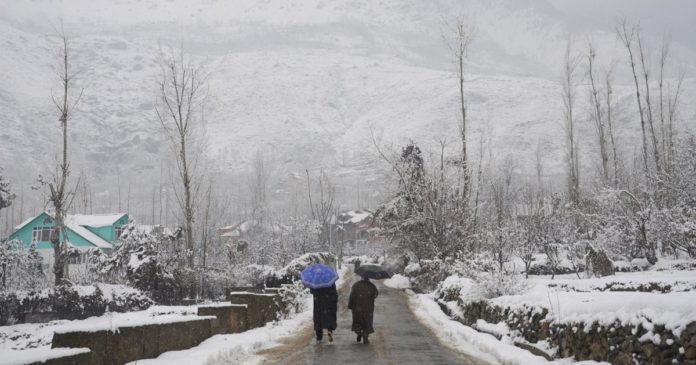
The weather has remained dry and clear for most of the hills and plains of North India during the last few days. The upcoming active Western Disturbance is expected to reach close to Jammu and Kashmir around December 6, due to which weather changes will be seen in Jammu and Kashmir from December 6 itself. This system will be somewhat more active than the recent Western disturbances and can give fairly good rain and snowfall on the mountains of North India. Due to this effect, the activities of rain will increase considerably on 7 and 8 December. It is expected that during these two days, Jammu and Kashmir will experience rain and snowfall at many places including Srinagar, Jammu, Katra, Udhampur, Banihal, Qazigund, Pulgaon, Pahalgam, and Gulmarg.
Himachal Pradesh is also expected to receive rain and snowfall during 7 and 8 December. Many areas including Kullu, Manali, Shimla, Dharamshala, Una, Lahaul Spiti, and Chamba will be affected. There is a possibility of light to moderate rainfall and snowfall in these parts. At the same time, in most parts of Uttarakhand, the change in weather will start from 7 December and this change will be seen by 8 December. Snowfall may occur in many areas including Chamoli, Pithoragarh, Uttarkashi, Kedarnath, Badrinath, Yamunotri, Gangotri, while the lower parts including Haridwar Rishikesh and Dehradun are likely to receive rain. This western disturbance may be somewhat more effective than the recent seasonal system, but it will not change the weather of the plains states of North India. Due to this, the trend of winds will change once again, which will reduce the trend of declining temperature in the plains states of North India including Delhi.
Due to possible rainfall and snowfall in the mountainous states, there may be some drop in daytime temperature while there is a possibility of a slight rise in night temperature.


